|

|

|

|
|
|
|
|
|
|
|
|
|
Monde
- World - Mundo - Mundial - Welt Préparez vos voyages en Monde - World - Mundo - Mundial Carte Nazionali - Mapas de Países - Carte routière - Road map |
Carte du monde
- Map of the world - Carta del mondo - Karte der Welt
Mapa del mundo - Mape mundial - Kaart de wereld
|
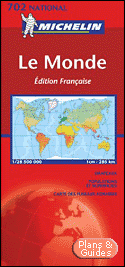
Carte routière : Le Monde, N°11702
|
||||
|
The world 903 The world (sous tube) The World Map (Rolled) No. 903
|
|||||
|
The world 905 - Plastifiée
roulée 1/28.500.000 - 1cm = 285km
|
|||||
|
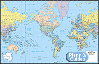
World Laminmated Map
This smaller format political wall map (38" x 25") features all new cartography and coloration. Originally designed for classroom use, it displays equally well in a home or office setting. The laminated surface enhances the colors and allows for annotating with dry-erase markers. Chart the route of friends, relatives and associates as they traverse the globe. It's an eye-catching geography lesson, room enhancer, or sales and marketing presentation waiting to happen. The Classroom Deluxe Laminated version features plastic strips for strength and metal hanging grommets. Publisher: Hammond |
|||||
|
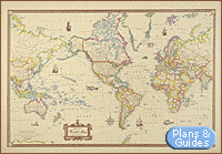
Antique Style World Map
Map of the world printed on antique-looking paper. Suitable for framing. Antique World Map 53" x 38" (rolled paper) American Map Corporation |
|||||
|
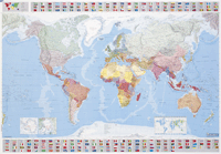
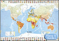
Hammond World Collectors
Edition Wall Map: Includes Flags of the Nations
World Collectors Folded Paper Wall Map This oversized political wall map (50" x 38") features all new cartography, distinctive color-banded borders for easy recognition, and physical relief shading highlighting the area's mountains and valleys,. Originally designed for classroom use, it displays equally well in a home or office setting. Chart the route of friends, relatives and associates as they traverse the globe. It's an eye-catching geography lesson, room enhancer, or sales and marketing presentation waiting to happen. Hammond World Atlas |
|||||
|
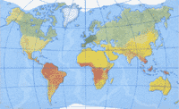
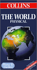
Collins the World Physical
1 : 30.000.000
Publisher: William Collins & Sons Ltd |
||||


|
|
|
|
|
|
|
|
|
|
| mapas del mundo | mapas mundiales | mapa mundi |
| Strassenkarte | mapa del mundo | mapa mundial |
| Weltkarte | World map | |
| mapas europa | mapa de europa | kaart europa |
|
Copyright © 2001-2005 |
|
|
|
|
Plans &
Guides -
Tourisme -
Road
Map -
Tourism |
|